Mapping landscapes
|
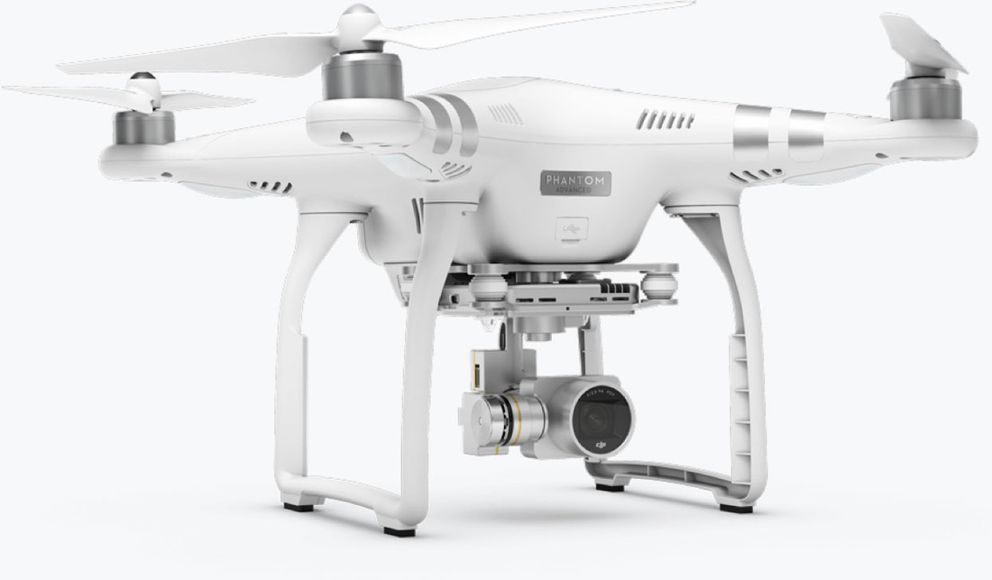
Tom is lucky enough to have access to a number of drones. Some of this work looks at how cheap commercial drones can be used for mapping the environment. For this work Tom uses a Phantom 3 Advanced and a number of different software platforms. This page shows some of the results.
Tom is also looking to see how drones can be used to further our understanding of bats. |
